A tool to support sustainable viticulture

workshop-tool-3

Among the many tools available on LANDSUPPORT platform the Viticulture tool is designed to assist winemakers, consortia and wine cooperatives in the management and planning of sustainable viticulture that is well suited to the potential of their specific territories, including in relation to soil conservation.

it is indeed possible to know, of a free drawn area, the environmental characteristics and the viticultural zoning, the values, and their spatial variability of some bioclimatic indexes important for a sustainable planning and management of vineyards and for the production of quality wines, and to obtain a support to plan wine tourism routes.

The workshop, organized by the Campania Region as part of the LANDSUPPORT project, will be held on Thursday 3 June at 9:30 am and will illustrate this tool and its strategic importance for the sustainable planning and management of the wine-growing areas in Campania.

A tool to fight land take in Italy

workshop-tool-1

As part of the LANDSUPPORT project, an innovative tool has been developed to combat Land Take throughout the Italian territory designed to support the decisions of administrations, urban planners and local communities and to raise awareness of this serious threat of degradation of the land in our country.

The Land Take tool allows you to get a geospatial knowledge about the soil sealing generated by recent urban expansion and by urban and territorial planning choices, to monitor the evolution and trend of land consumption in the selected period and to better plan the territory by taking into account the gain or loss of ecosystem services.

The workshop, organized by ISPRA as part of the LANDSUPPORT project (coordinated by CRISP, University of Naples Federico II) and which sees the collaboration of INU (National Urban Planning Institute), will be held on Wednesday 26 May at 9:30 am and will illustrate these tools and their strategic importance for sustainable territorial and urban planning.

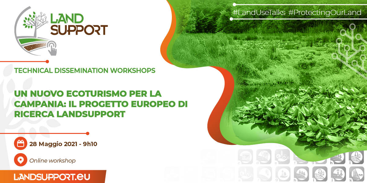
A tool to support ecotourism and rural tourism in campania region

workshop-tool-2

Among the many tools available on LANDSUPPORT platform the Ecotourism tool is designed to assist individuals, small and medium-sized enterprises or associations that promote sustainable tourism and, in general, for all those who intend to combine nature and culture. The tool is working in its full version in the Campania region (Italy) and in a less extended version in Marchfeld (Austria) and Zala County (Hungary).

it is indeed possible to create an “environmental label” of a free drawn area, to select from all the CAI (Italian Alpine Club) trails of the entire Campania region and learn about their landscape and morphological characteristics, to know the points of naturalistic, cultural and food and wine interest present in a specific area of ​​the territory chosen by the user and to take advantage of the immersive reality (experimental version in a 20,000 ha area) to enjoy the landscape and stories related to it, told by experts in the environmental, historical and archaeological sectors, directly on their devices.

The workshop, organized by the Dipartimento di Studi Umanistici and the CRISP Interdepartmental Center of the University of Naples Federico II, will be held May 28 at 9:10 am and will illustrate this tool and its strategic importance for the dissemination of aware and informed tourism throughout. the Campania region.

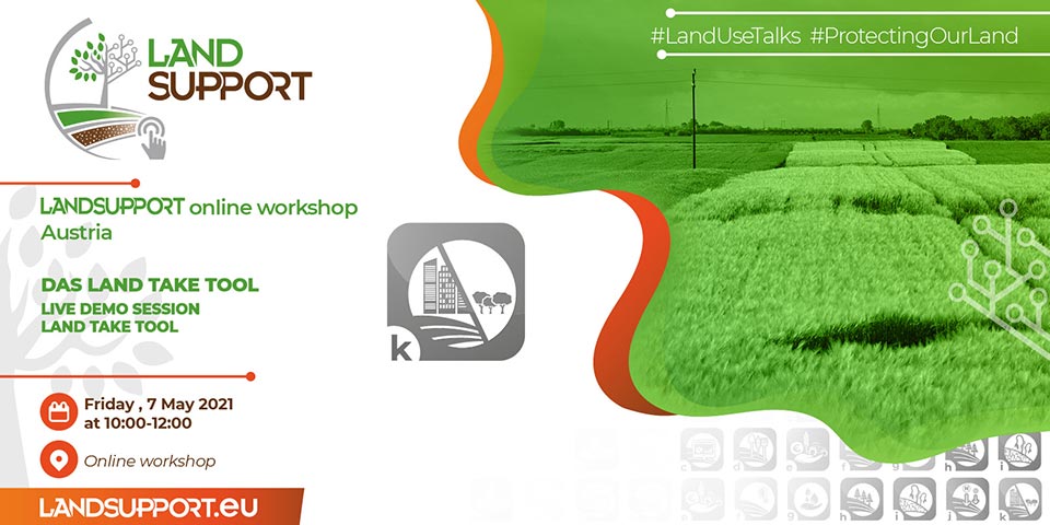
LAND TAKE TOOL – Online Live Demo Session

save-the-date-7-05-Opti
Save the date!

LANDSUPPORT ONLINE WORKSHOP Austria  On 7 May 2021

Are you interested in joining? Do you want to know more!

Registration open until 28. April 2021

Register and information here 

#LandUseTalks #ProtectingOurLand