Which relationships exist between different land uses and climate change? And how can innovative decision-support platforms can support the investigation of these relationships?
These questions will be discussed at the virtual workshop, where the LANDSUPPORT platform will be used to demonstrate the operational aspects of DSS systems during a hands-on session.
The workshop is organized by the Ministry of the Environment with the scientific support of CRISP, University of Naples Federico II and CNR ISAFOM. Participation is reserved to public administration officials
Participation to the workshop is reserved to public administration officials
https://www.landsupport.eu/wp-content/uploads/2019/07/arrow.png00NicolasWeillerhttps://www.landsupport.eu/wp-content/uploads/2019/07/arrow.pngNicolasWeiller2020-06-25 12:21:222020-06-26 10:24:14DSS for land policies implementation: relationship between land use and climate change
LANDSUPPORT coordinator CRISP UNA and ISPRA will join the Soil4Life Forum on December 12th for the sustainable managament of soil resources that will take place in ISPRA Headquarters in Roma.
https://www.landsupport.eu/wp-content/uploads/2019/07/arrow.png00NicolasWeillerhttps://www.landsupport.eu/wp-content/uploads/2019/07/arrow.pngNicolasWeiller2019-12-19 16:04:392020-06-25 12:08:47Soil4Life-Forum for the sustainable management of soil resources
On Wednesday 6th of November 2019 in Naples, the Tool on LAND TAKE is being presented at the Directorate General for Agricultural Policies (Campania Region) offices. In particular it’s access methods, databases, queries, developed indicators, as well as the reporting forms are being illustrated. The mentioned Tool was previously presented (June 2019) to the European Commission, who showed to be very interested in this application, which is able to supply data results relating to the whole territory of the European Union.
The land consumption trend in Italy, which also involves soils characterized by high fertility, has now become unsustainable, both in terms of quality and quantity. As the latest ISPRA report showed, Land Consumption in Italy keeps growing: the new artificial roofs in 2018 involved 51 square kilometers of land: that is to say, on average, about 14 hectares per day. The H2020 LANDSUPPORT project intends to answer to the question: what tools have we got, among the different contexts of land management, to contrast and monitor soil consumption and soil sealing as well as the subsequent loss of ecosystem services?
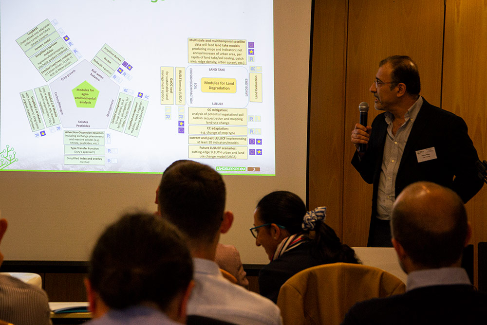
Our presentation will be displayed directly on the S-DSS smart decision support system, already available on the web platform, which is able to integrate territorial and environmental data and analysis and evaluation models, in order to make information tools available for a sustainable soil and territory management in different areas (agriculture, forestry, urban areas) and to support the reporting and the urban and territorial planning.
https://www.landsupport.eu/wp-content/uploads/2019/07/arrow.png00NicolasWeillerhttps://www.landsupport.eu/wp-content/uploads/2019/07/arrow.pngNicolasWeiller2019-11-06 10:42:002019-12-19 10:10:08Workshop WP7 – Tool on LANDTAKE
Wageningen University & Research, ISRIC and IBED organized the fourth edition of the Wageningen Soil Conference from August 27th to 30th.
In the 2019 edition, the focus was on “Understanding soil functions: from ped to planet”.
Gina Marano – UNA – attended the side conference event SOIL HORIZON workshop organized by iSQAPER & LANDMARK H2020 projects, under the invitation of Rachel Cramer (LANDMARK’s coordinator, WUR) as Landsupport’s expert in a panel for evaluating ISQ4aper and Soil Navigator (LANDMARK’s DSS, soilnavigator.eu).
The Land take tool of LANDSUPPORT has been presented by Fabio Terribile and Giuliano Langella – UNA – as keynote lecture at the First Joint Meeting on Soil and Plant System Sciences (SPSS 2019).
The meeting, organized by the Italian Society of Agricultural Chemistry (SICA), the Italian Society of Pedology(SIPe) and the Italian Society of Soil Science (SISS), took place at the Mediterranean Agronomic Institute Campus in Valenzano(Bari, Italy), 23-26 September 2019.
https://www.landsupport.eu/wp-content/uploads/2019/07/arrow.png00NicolasWeillerhttps://www.landsupport.eu/wp-content/uploads/2019/07/arrow.pngNicolasWeiller2019-10-01 11:00:412019-12-19 10:10:25Land Take Tool at the First Joint Meeting on SPSS 2019
The 13th European Biennial of “Town and town planners”from september 11th to 13th, 2019, promoted by the European Council of Town Planners (ECTP-CEU), brought together urban planners, designers, sociologists, historians (of architecture), politicians and other professionals to discuss the issues and share information and lessons learned.
The event focused on knowing how urban planners and designers throughout Europe deal with changes in the cultural and technological environments.
In such a framework, prof. Francesco Domenico Moccia – UNA – displayed the Land Take LANDSUPPORT tool with a hand on section in a special booth, demostrating that LS DSS, working at landscape scale, can represent a new approach to mitigate land take in multiscale land planning procedures.
https://www.landsupport.eu/wp-content/uploads/2019/07/arrow.png00NicolasWeillerhttps://www.landsupport.eu/wp-content/uploads/2019/07/arrow.pngNicolasWeiller2019-09-27 16:35:382019-12-19 10:10:49LANDSUPPORT Land Take tool at the ECTP Biennial 2019
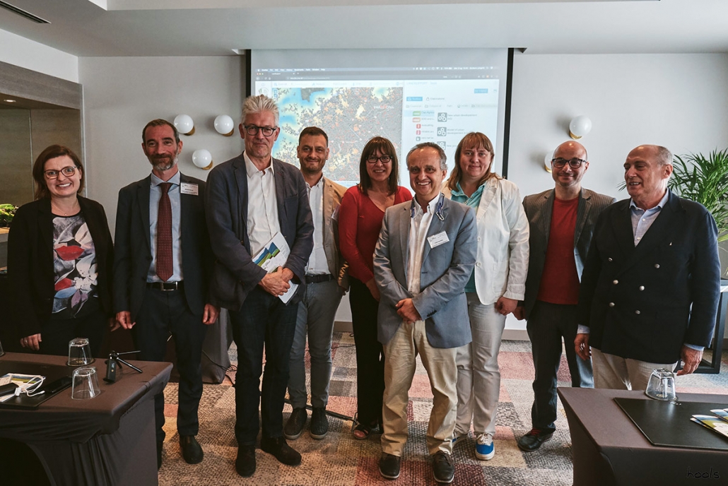
A press conference on 3 July presented the project and allowed attendees to get hands-on with some of the web-based tools at its core. Comments and input came from agriculture and soil experts from LANDSUPPORT, the European Council of Spatial Planners (ECTP), the Istituto Nazionale di Urbanistica (INU), and the Italian National Institute for Environmental Protection and Research (ISPRA).
To encourage better policy decisions and protect against land degradation, the project created the Land Take tool – one component of a web-based, open access GeoSpatial Decision Support System (S-DSS) – the LANDSUPPORT S-DSS platform. It employs a combination of data, modelling, and on-the-fly calculations to analyse, monitor and mitigate land take for the entire European territory.
The tool has a number of potential applications – aiding National Public Authorities who require ongoing monitoring of land take in their territory; assisting planning at a regional or provincial level where planning guidelines need to be adopted; and informing decisions at an administrative level where final land take decisions are made.
https://www.landsupport.eu/wp-content/uploads/2019/07/arrow.png00NicolasWeillerhttps://www.landsupport.eu/wp-content/uploads/2019/07/arrow.pngNicolasWeiller2019-07-05 14:22:542019-12-19 10:11:01Throwback on the press conference in Brussels
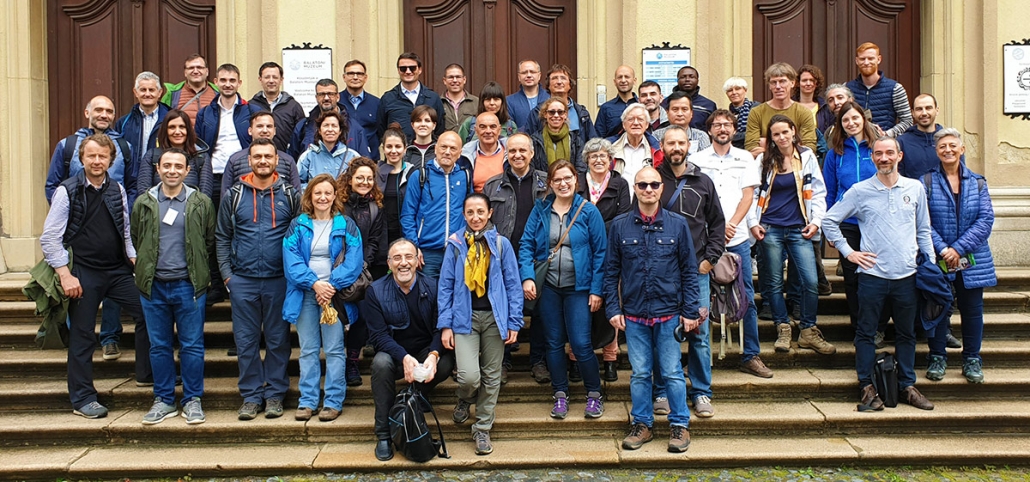
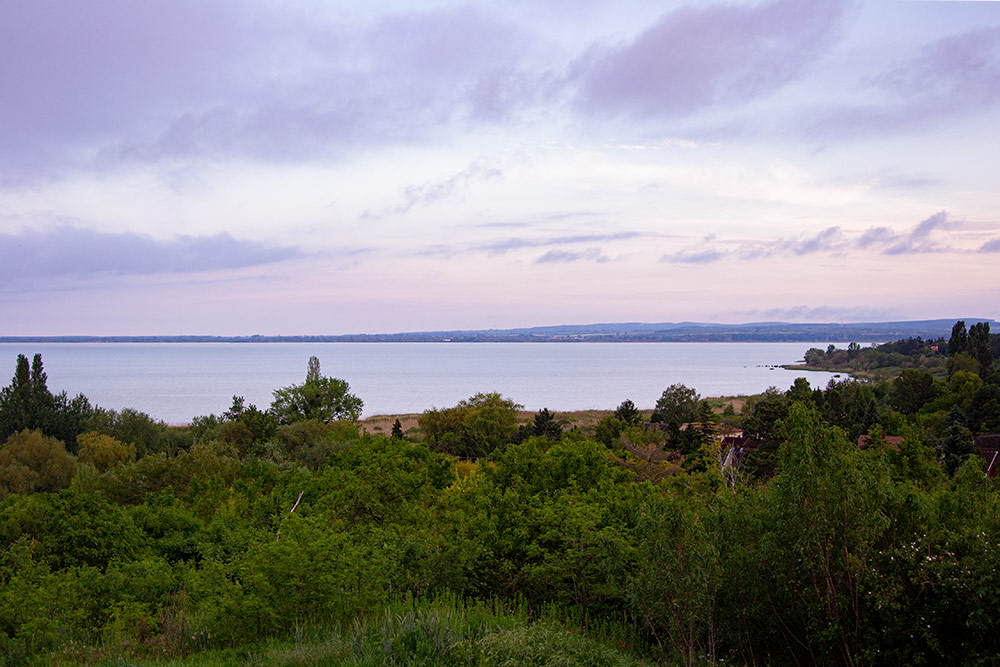
The LANDSUPPORT General Assembly 2019 was
held in Balatongyörök, Hungary, hosted by project local partners University of
Pannonia and Zala County.
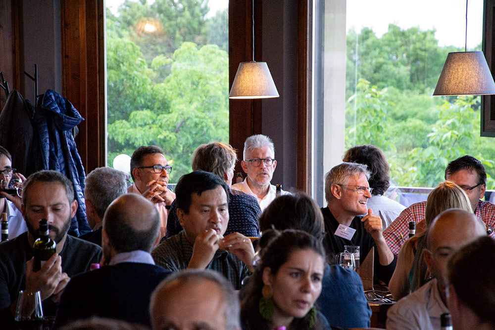
All LANDSUPPORT partners from all corners
of the world (Europe, North Africa and Malaysia) met for the first time after
the Kickoff meeting in Naples, in May 2018. Thus, a full project year has
already passed by, and the GA was the occasion to get together, present the
results of the different work packages and work together on the next steps.
During the GA, the LANDSUPPORT consortium
launched the Land-Take tool and its Graphical User Interface. It is the first
of a series of tools which will compose the LANDSUPPORT DSS platform, and it
specifically addresses land take issues, whereas other LANDSUPPORT tools which
will be launched throughout the project will address different issues linked to
land use, agriculture, forestry and environment.
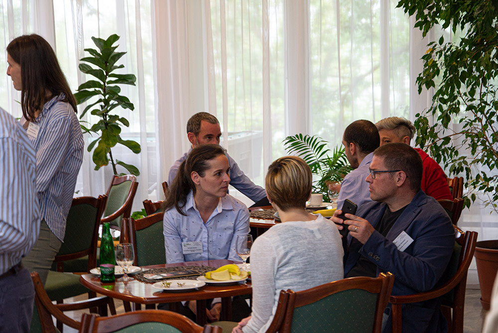
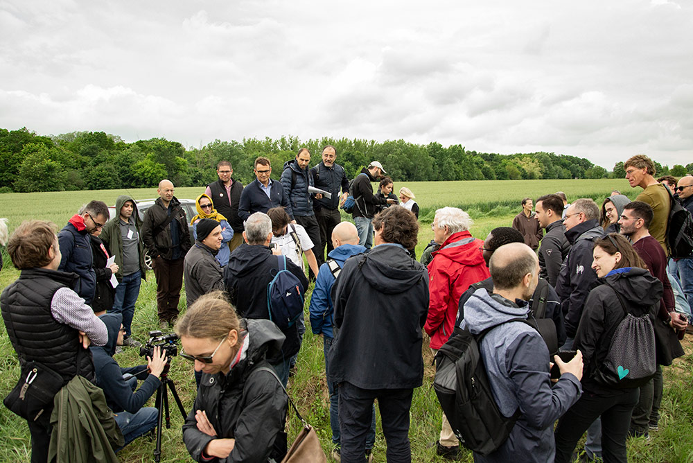
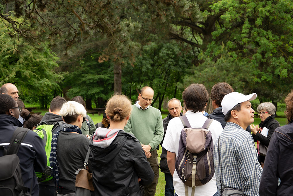
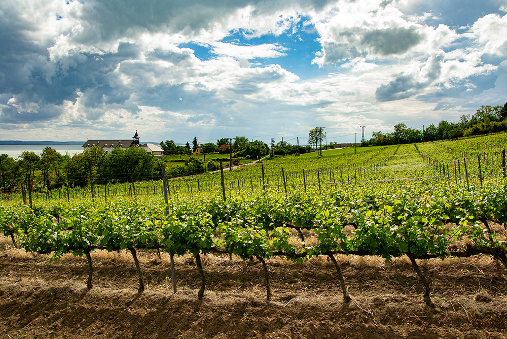
Activities during the GA included plenary sessions, working group discussions and even a full-day field trip, where participants could put their hands on practical soil and land management issues in the beautiful setting of the lake Balaton and the surrounding Zala County. A video troupe followed the event for the three days, and the videos will be released soon – stay tuned if you don’t want to miss them!
https://www.landsupport.eu/wp-content/uploads/2019/07/arrow.png00NicolasWeillerhttps://www.landsupport.eu/wp-content/uploads/2019/07/arrow.pngNicolasWeiller2019-06-12 16:59:432019-12-19 10:11:06General Assembly 2019 in Balatongyörök in Hungary
#breakingnews LANDSUPPORT Consortium launches the first version of the DSS Web Platform!
Ariespace of the WP5 for the Implementation of the LANDSUPPORT Geospatial Cyberinfrastructure announced the launch of alpha version of the Graphical User Interface. Built upon experience gained through numerous previous successful projects, the LANDSUPPORT Web Platform leverages the flexibility and performance of the original coding developed by several researchers.
The Graphical User Interface (GUI) has been implemented as a modular dashboard: system administrators and users will be able to configure the GUI to adapt the systems to distinct contexts and user requirement. The system will contain about 100 DSS tools addressing #agriculture, #environment and #spatialplanning. Ariespace – in close interaction with all other WP5 research partners – has developed a GIS-like GUI based on different framework and libraries. Through the GUI, users can see data for selected periods and for their area of interest and then they can access to data (WP2) modelling (WP3) and services (WP4) provided by the LANDSUPPORT Project. Results are visualized as maps, tables and reports with export capabilities and comparisons between different scenarios.
The web platform will be shown at the next LANDSUPPORT general assembly hosted in Balatongyörök, Hungary at the end of May.
https://www.landsupport.eu/wp-content/uploads/2019/07/arrow.png00NicolasWeillerhttps://www.landsupport.eu/wp-content/uploads/2019/07/arrow.pngNicolasWeiller2019-05-14 15:41:102019-12-19 10:11:12Launch the first version of the DSS Web Platform!
We may request cookies to be set on your device. We use cookies to let us know when you visit our websites, how you interact with us, to enrich your user experience, and to customize your relationship with our website.
Click on the different category headings to find out more. You can also change some of your preferences. Note that blocking some types of cookies may impact your experience on our websites and the services we are able to offer.
Essential Website Cookies
These cookies are strictly necessary to provide you with services available through our website and to use some of its features.
Because these cookies are strictly necessary to deliver the website, you cannot refuse them without impacting how our site functions. You can block or delete them by changing your browser settings and force blocking all cookies on this website.
Google Analytics Cookies
These cookies collect information that is used either in aggregate form to help us understand how our website is being used or how effective our marketing campaigns are, or to help us customize our website and application for you in order to enhance your experience.
If you do not want that we track your visist to our site you can disable tracking in your browser here:
Other external services
We also use different external services like Google Webfonts, Google Maps and external Video providers. Since these providers may collect personal data like your IP address we allow you to block them here. Please be aware that this might heavily reduce the functionality and appearance of our site. Changes will take effect once you reload the page.
Google Webfont Settings:
Google Map Settings:
Vimeo and Youtube video embeds:
Privacy Policy
You can read about our cookies and privacy settings in detail on our Privacy Policy Page.
We use cookies to ensure that we give you the best experience on our website. If you continue to use this site we will assume that you are ok with that.